Introduction
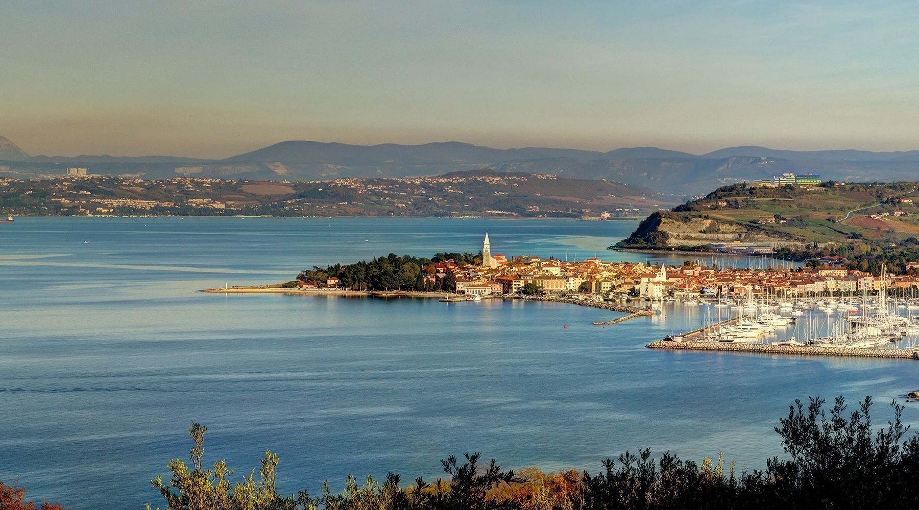
Koper – Capodistria, one of the oldest towns in Slovenia, developed on a rocky island with the Roman name Capris/Insula Capraria (the island of the goats) Of the three coastal towns in Slovenia (Koper, Izola and Piran), Koper has undergone the most changes. The reasons for this are to be found in the changing kings and ruling states that left their mark on the town and the names it bore. Koper was known as Capris during Roman times, Insula Capraria in the time of Pope Gregory I (599), Justinopolis under the Byzantine Empire (between the 6th and 8th centuries), and Caput Histriae (the head/start of Istria) by the patriarchs of Aquileia. The Venetians changed this name into its Italian form, Capodistria. The equivalent Slovenian form of the name is Koper. Today, Koper is a centre of trade, has a university and is a tourist destination, continually developing what it has to offer as a green destination as regards the seaside resorts, maritime tourism (cruises), sports, and gastronomy. Visit the Municipality of Koper – Capodistria’s official website: http://www.koper.si/
Koper – Capodistria
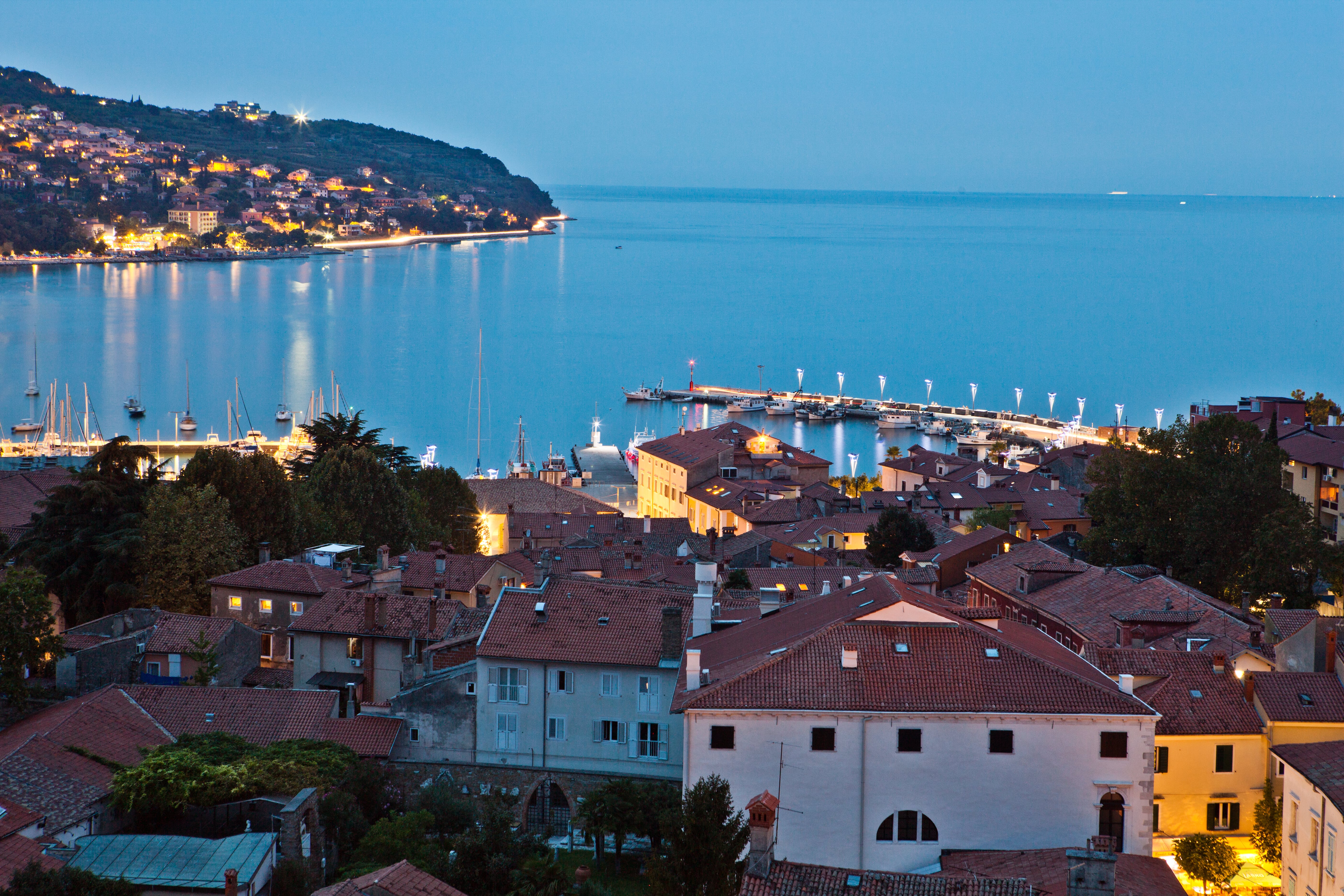
The longest domination of the city was that of the Venetian Republic (1279-1797), a time during which Koper flourished economically (trade and the production of salt) and culturally (painting and music). The Venetian period continues to reverberate in the city’s architecture: despite the many modern interventions, it has kept its medieval character, and the city is a member of the European Union of Medieval Cities. During the middle ages, Koper was an island surrounded by walls and was connected to the mainland via a wooden bridge heading in the direction of Škocjan. It was protected by a powerful fort – the Castle of Lions – and was surrounded by endless salt flats. Koper’s importance began to wane in the 18th century, when Trieste became a free port once more, and came to an end with the fall of the Venetian Republic.
During the 19th century and up the WWI (i.e. from the empire of Napoleon from 1806-1813 to the Hapsburg monarchy from 1813-1918) Koper underwent many changes in its economic and social development. This period marked a reduction in the salt flats, which were completely abandoned in 1912, and a change city plan, which began to lose its insular nature. In 1825, a second road connection with the mainland (Semedela Road) was built, followed by the coastal road in the middle of the 19th century, a sea connection with Trieste-Poreč and a rail link with Trieste-Poreč in 1902.
Under the Italian Empire, Koper completely lost its insular character, through the draining of the abandoned salt flats. The period following WWII brought further changes. Until the final decision on the borders with Italy with the signing of the London Memorandum of 1954, when it officially became a part of Yugoslavia, Koper belonged to Zone B, administered by the Yugoslavian National Army, which initially belonged to the Julian March and in September 1947, to the neutral region of Free Territory of Trieste (FTT). As part of Yugoslavia, Koper underwent fundamental changes in its ethnic structure. This also brought new architectural interventions both to the centre of the city and is outlying areas, especially as regards its great development following the construction of a port.